- Home
- Government
- Maps
Mapping & GIS
Data Disclaimer
The mapping data below is provided for informational use only as a convenience to the public and may not reflect the most current designations within the City. The City makes no representations or warranties of any kind, including, but not limited to, the fitness of provided information for any particular purpose or use, nor are any such representations or warranties to be implied from the data or information herein. As such, a citizen assumes all risk for relying on any data; the City, and its employees, officers, and agents, shall not be liable for any loss or damage arising from a citizen’s use.
| |
| | DeKalb County GIS Data & Maps |
| | Huskie Bus Tracker |
| | Illinois Department of Transportation Road Conditions |
| | Illinois Geospatial Data Clearinghouse |
Contact Us
-
Chad Bergeson
GIS Manager
Phone: 815-748-2368
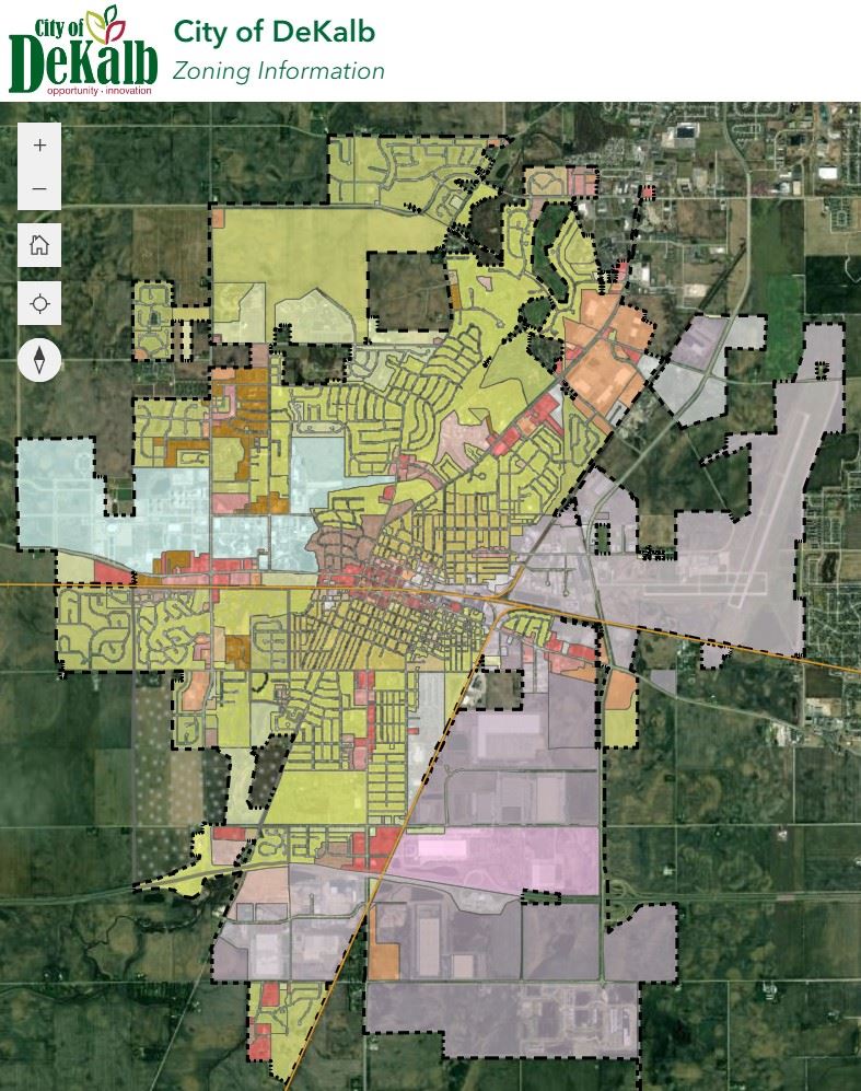
Visit our new interactive Zoning Web Map
Availability of the Official Version of the DeKalb Zoning Map
The Official DeKalb Zoning Map is approved by the City Council in March of every year. The Zoning Map provided here may not show the current zoning for every property. To verify the current zoning of a parcel, please contact Planning Director Dan Olson at 815-748-2361 or dan.olson@cityofdekalb.com.